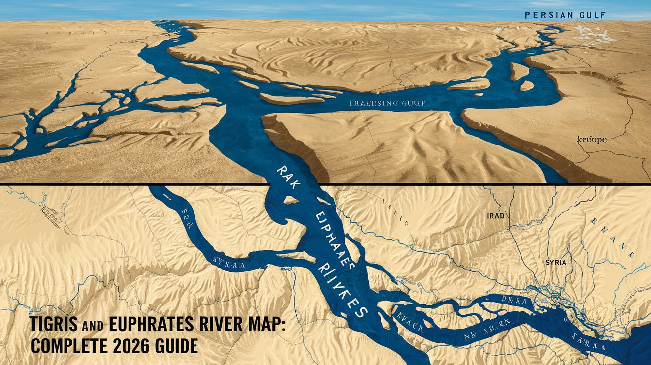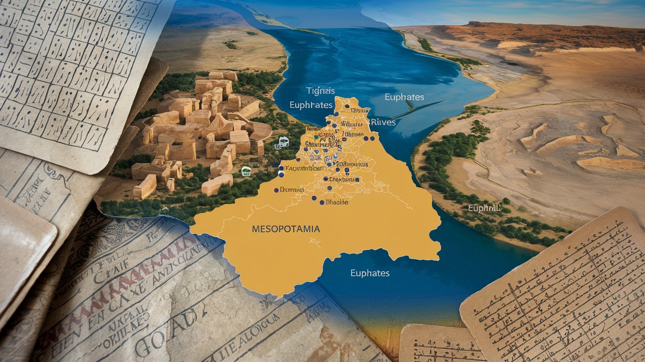
A Mesopotamia map reveals the geographic heart of human civilization, located in modern-day Iraq and parts of Syria, Turkey, and Iran. This ancient region, positioned between the Tigris and Euphrates rivers, gave birth to writing, agriculture, and urban development around 3500 BCE. Understanding Mesopotamian geography through detailed maps helps visualize where Sumerians, Babylonians, and Assyrians built the world’s first cities and empires that shaped human history.
Understanding Mesopotamia’s Geographic Location
The term Mesopotamia derives from ancient Greek, meaning ‘land between rivers,’ referring to the fertile region between the Tigris and Euphrates rivers. This geographic area corresponds primarily to modern Iraq, with portions extending into southeastern Turkey, northeastern Syria, and western Iran. The region spans approximately 300 miles wide and stretches from the Persian Gulf northward to the mountainous regions of Anatolia. In 2026, archaeological sites across these territories continue revealing insights into early human settlement patterns that emerged over 7,000 years ago.
The fertile crescent encompasses Mesopotamia as its eastern component, creating ideal conditions for agricultural development. Seasonal flooding from both rivers deposited nutrient-rich silt across the plains, enabling farmers to cultivate wheat, barley, and legumes. This geographic advantage allowed populations to grow exponentially, leading to the establishment of permanent settlements. Understanding the Mesopotamian landscape through historical maps demonstrates why this specific location became humanity’s first cradle of civilization rather than other river valleys.
Major Regions of Ancient Mesopotamia
Historical Mesopotamia maps typically divide the region into three distinct geographic zones, each supporting different civilizations throughout antiquity. These divisions remained relatively consistent across various periods, though political boundaries shifted dramatically between empires.
Sumer: The Southern Mesopotamian Heartland
Sumer occupied the southernmost portion of Mesopotamia, stretching from modern Baghdad to the Persian Gulf. This region hosted humanity’s first cities, including Uruk, Ur, Eridu, and Lagash, which flourished between 4500-1900 BCE. The Sumerian civilization invented cuneiform writing, the wheel, and complex irrigation systems. Maps from this period show densely populated city-states separated by agricultural land and marshlands. In 2026, satellite imagery combined with archaeological surveys has identified over 200 settlement mounds across southern Iraq, revealing the extensive urban network that characterized ancient Sumer.
Akkad: The Central Mesopotamian Territory
Akkad lay north of Sumer in central Mesopotamia, though its exact boundaries remain debated among scholars. This region became prominent under Sargon of Akkad around 2334 BCE, who established the world’s first multi-ethnic empire. The Akkadian Empire united Sumerian and Akkadian-speaking populations under centralized rule. Maps depicting Akkad show major cities like Babylon and Kish positioned strategically along the Euphrates River, facilitating trade and military movements. The region’s central location made it a persistent power center throughout Mesopotamian history, with Babylon later becoming the most famous city in the ancient world.
Assyria: The Northern Mesopotamian Kingdom
Assyria dominated northern Mesopotamia, centered on the upper Tigris River near modern Mosul, Iraq. The Assyrian Empire reached its zenith between 900-600 BCE, controlling territories from Egypt to the Persian Gulf. Major Assyrian cities including Nineveh, Ashur, and Nimrud appear prominently on ancient maps, connected by royal roads that facilitated administration and military campaigns. The region’s proximity to Anatolia and the Zagros Mountains provided access to timber, metals, and stone unavailable in southern Mesopotamia. Archaeological excavations in 2026 continue uncovering massive palace complexes and libraries that document Assyrian geographic knowledge and mapmaking abilities.
Important Cities on Mesopotamian Maps
Detailed Mesopotamia city maps identify dozens of urban centers that rose and fell across three millennia of recorded history. These cities served as political capitals, religious centers, and commercial hubs that shaped ancient Near Eastern civilization.
Uruk: The World’s First Major City
Uruk stands as humanity’s oldest major city, reaching populations of 40,000-80,000 by 2900 BCE. Located in southern Iraq near the Euphrates River, Uruk covered approximately 2.3 square miles at its peak. The city’s archaeological site revealed the earliest known writing system, monumental architecture, and complex administrative systems. Maps show Uruk’s massive defensive walls, temple districts, and residential quarters that established urban planning templates copied throughout Mesopotamia. The Epic of Gilgamesh, composed around 2100 BCE, immortalized Uruk’s legendary king and the city’s cultural significance. Modern excavations continue revealing new sectors of this foundational urban center.
Babylon: The Mesopotamian Cultural Capital
Babylon emerged as Mesopotamia’s most famous city, reaching its golden age under King Nebuchadnezzar II (605-562 BCE). The city’s iconic features included the Hanging Gardens (one of the Seven Wonders), the Ishtar Gate, and massive ziggurats. Historical maps depict Babylon’s double-wall fortifications spanning 56 miles in circumference, protecting approximately 2,100 acres. The city straddled the Euphrates River in central Iraq, approximately 55 miles south of modern Baghdad. Archaeological work between 1899-2026 has mapped the city’s grid layout, processional ways, and palace complexes. Babylon’s strategic location made it a recurring power center across different empires and dynasties.
Nineveh: The Assyrian Imperial Capital
Nineveh served as the final capital of the Assyrian Empire, reaching peak importance under Sennacherib (705-681 BCE). Located on the eastern bank of the Tigris River opposite modern Mosul, the city covered approximately 1,800 acres within walls stretching 7.5 miles. Maps show Nineveh’s 15 monumental gates, royal palaces, and the famous library of Ashurbanipal containing 30,000 clay tablets. The archaeological site has revealed sophisticated water management systems including aqueducts and canals bringing water from mountain sources 50 miles distant. Despite damage from recent conflicts, international teams in 2026 continue digital preservation and restoration efforts.
Rivers and Waterways on Mesopotamian Maps
The Tigris and Euphrates rivers defined Mesopotamian civilization, appearing as central features on all historical maps. These waterways provided irrigation, transportation, and defensive barriers while simultaneously posing flood risks requiring sophisticated management systems.
The Euphrates River originates in eastern Turkey, flowing 1,740 miles through Syria and Iraq before joining the Tigris at the Shatt al-Arab waterway near the Persian Gulf. Ancient maps show numerous canals branching from the Euphrates to irrigate agricultural fields and connect cities. The river’s gentler gradient made it more suitable for canal construction compared to the faster-flowing Tigris. Cities like Babylon, Ur, and Mari developed along the Euphrates, utilizing its waters for agriculture and commerce. Modern satellite imagery reveals ancient canal networks extending hundreds of miles from the main channel, demonstrating the scale of Mesopotamian hydraulic engineering.
The Tigris River runs 1,150 miles from southeastern Turkey through Iraq, historically flowing separately to the Persian Gulf before joining the Euphrates. Ancient maps depict major cities including Nineveh, Ashur, and Ctesiphon positioned along the Tigris to exploit its transportation routes. The river’s faster current and deeper channel made it ideal for moving goods and armies. Seasonal flooding patterns influenced settlement locations, with cities typically built on elevated terraces above flood levels. Archaeological surveys in 2026 using remote sensing technology have identified hundreds of abandoned settlements along former Tigris channels, revealing how river course changes impacted urban development across millennia.
What Modern Countries Occupy Ancient Mesopotamia
Understanding which modern nations correspond to ancient Mesopotamia helps contextualize historical geography. The region’s boundaries have shifted dramatically across 5,000 years, but core territories remain identifiable on contemporary maps.
Iraq occupies the vast majority of ancient Mesopotamia, encompassing nearly all of Sumer, Akkad, and Assyria. Modern Iraq’s borders, established primarily in the 1920s under British mandate, roughly correspond to the heartland of ancient Mesopotamian civilization. The Iraqi territory contains most significant archaeological sites including Babylon, Ur, Uruk, Nineveh, and Nimrud. In 2026, Iraq’s government actively promotes cultural heritage tourism while working with international organizations to protect and restore ancient sites damaged during recent decades of conflict. The country’s geographic position between the Tigris and Euphrates rivers maintains the same strategic importance it held in antiquity.
Syria, Turkey, and Iran contain peripheral portions of ancient Mesopotamia. Northwestern Syria includes portions of the Euphrates valley where cities like Mari flourished. Southeastern Turkey encompasses upper Mesopotamia, including ancient Assyrian territories and cities like Harran. Western Iran contains parts of ancient Assyria and Babylonia, particularly in Khuzestan Province. Kuwait and small portions of Saudi Arabia occupy areas near the ancient Persian Gulf coastline, though coastlines have shifted significantly over millennia due to siltation. These modern borders reflect 20th-century political agreements rather than ancient geographic or cultural boundaries. Archaeological cooperation across these nations in 2026 emphasizes shared Mesopotamian heritage despite contemporary political divisions.
Historical Periods Shown on Mesopotamian Maps
Comprehensive Mesopotamian historical maps track territorial changes across distinct periods, each characterized by different dominant powers and cultural developments. Understanding these chronological divisions clarifies how political geography evolved across three millennia.
Early Dynastic Period (2900-2350 BCE)
The Early Dynastic Period featured competing Sumerian city-states including Uruk, Ur, Lagash, and Kish. Maps from this era show fragmented political geography with small territories controlled by individual cities and their agricultural hinterlands. Constant warfare between city-states prevented unified control, though temporary hegemonies occasionally emerged. Archaeological evidence from 2026 indicates sophisticated diplomatic systems existed despite political fragmentation, with standardized weights, measures, and legal codes facilitating trade. This period established foundational Mesopotamian culture including writing systems, religious practices, and architectural traditions that later empires adopted.
Akkadian and Neo-Sumerian Empires (2350-2000 BCE)
The Akkadian Empire under Sargon the Great created Mesopotamia’s first unified territorial state, controlling lands from the Persian Gulf to the Mediterranean Sea. Maps show dramatic expansion from the earlier city-state system to a centralized empire administered from the capital at Akkad. After Akkadian collapse around 2154 BCE, the Third Dynasty of Ur (2112-2004 BCE) reunified Mesopotamia under Sumerian cultural dominance. Neo-Sumerian maps depict centralized bureaucratic control with standardized provincial administration. These empires established templates for territorial organization that influenced subsequent Mesopotamian and Near Eastern states. Recent archaeological surveys have identified hundreds of administrative texts documenting the geographic extent and bureaucratic structure of these early empires.
Babylonian and Assyrian Dominance (1900-539 BCE)
The Old Babylonian Period (1900-1600 BCE) saw Hammurabi’s empire briefly unify Mesopotamia, with maps showing centralized control from Babylon. The subsequent Kassite Period and Middle Assyrian Period featured competing regional powers. The Neo-Assyrian Empire (911-609 BCE) created the largest Mesopotamian territorial state, extending from Egypt to Iran. Neo-Assyrian maps reveal sophisticated provincial systems with royal roads connecting distant territories. The Neo-Babylonian Empire (626-539 BCE) succeeded Assyria, controlling similar territories with emphasis on cultural and economic power. Maps from this final independent Mesopotamian period show extensive trade networks connecting the Mediterranean, Persian Gulf, and Central Asia. Digital humanities projects in 2026 have created interactive historical atlases showing these territorial changes across time.
Using Mesopotamian Maps for Education and Research
Modern Mesopotamia maps serve essential educational and research functions, helping students and scholars visualize ancient geography. These cartographic resources range from simple outline maps to sophisticated GIS-based tools incorporating archaeological data.
Educational maps designed for classroom use typically highlight major cities, rivers, and political boundaries at specific historical moments. Simplified Mesopotamia maps help students understand geographic context for events described in texts like the Epic of Gilgamesh or Code of Hammurabi. Many educational institutions in the United States utilize interactive digital maps allowing students to explore different historical periods, compare ancient and modern geography, and access multimedia information about specific sites. Free downloadable PDF maps available from academic institutions and museums provide valuable resources for K-12 and university instruction. In 2026, augmented reality applications allow students to overlay ancient Mesopotamian geography onto modern landscapes, creating immersive learning experiences.
Research-grade maps incorporate detailed archaeological survey data, satellite imagery, and GIS analysis to support professional scholarship. The Electronic Cultural Atlas Initiative, CORONA satellite photograph collections, and other projects provide comprehensive spatial data covering thousands of archaeological sites. These resources enable researchers to analyze settlement patterns, trade routes, agricultural systems, and environmental changes across millennia. Advanced mapping projects in 2026 utilize machine learning to identify previously unknown archaeological sites from satellite imagery, potentially discovering thousands of unexcavated settlements. Research maps also track site destruction from looting, development, and conflict, informing heritage preservation efforts. Major universities and research institutions maintain specialized map libraries with historical cartographic collections dating to early European explorations of Mesopotamia.
Archaeological Sites and Mesopotamian Geography
Contemporary archaeological site maps identify thousands of locations across Iraq, Syria, Turkey, and Iran containing Mesopotamian remains. These sites range from massive city mounds to small villages, collectively documenting settlement patterns across ancient landscapes.
Major tell sites (artificial mounds formed by successive occupation layers) appear prominently on archaeological maps. Tell sites like Uruk, Nippur, and Ashur rise 15-30 meters above surrounding plains, containing stratified deposits spanning millennia. Archaeological maps document each site’s size, occupation periods, and excavation history. The Iraqi State Board of Antiquities and Heritage maintains databases tracking over 10,000 registered archaeological sites, though many remain unexcavated. In 2026, remote sensing technologies including LiDAR and ground-penetrating radar reveal subsurface features without excavation, enabling comprehensive site mapping while preserving archaeological contexts. These techniques have identified entire settlement landscapes invisible to surface surveys.
Site preservation efforts rely heavily on detailed mapping to monitor threats and prioritize conservation. Many Mesopotamian sites face dangers from agricultural expansion, urban development, looting, and climate change. Satellite-based monitoring programs track site conditions, documenting damage and informing intervention strategies. The Global Heritage Network and similar initiatives maintain constantly updated maps showing site conditions across conflict zones. Heritage professionals use these maps to coordinate international preservation efforts and train local communities in site protection. Educational programs in Iraq and neighboring countries emphasize archaeological heritage as shared cultural patrimony deserving protection. International collaboration in 2026 focuses on capacity building, ensuring local institutions can manage and protect Mesopotamian heritage independently while contributing to global knowledge.
Climate and Environment in Ancient Mesopotamia
Understanding Mesopotamian environmental conditions requires examining climate patterns, water resources, and ecological changes that influenced settlement and agriculture. Environmental maps reveal how ancient peoples adapted to challenging conditions while creating productive agricultural systems.
Ancient Mesopotamia experienced hot, arid conditions similar to modern Iraq, with summer temperatures exceeding 110°F and annual rainfall below 10 inches in southern regions. Northern Mesopotamia received somewhat higher precipitation, supporting rain-fed agriculture in Assyrian territories. Paleoclimatic research indicates conditions 5,000 years ago resembled modern patterns, though periodic fluctuations occurred. The region’s aridity made irrigation absolutely essential for agriculture, driving innovations in canal construction, water management, and hydraulic engineering. Environmental stress periodically triggered political instability, with drought-related famines contributing to empire collapses. Climate proxy data from 2026 studies of ancient agricultural remains, lake sediments, and speleothems provide increasingly detailed reconstructions of past environmental conditions.
Environmental degradation significantly impacted Mesopotamian landscapes across antiquity. Intensive irrigation caused salinization as salts accumulated in agricultural soils, gradually reducing fertility and forcing field abandonment. Deforestation in surrounding highlands led to increased erosion and siltation of irrigation canals. Marshlands that historically buffered against floods were drained for agriculture, altering hydrological patterns. These environmental changes appear in archaeological records as shifting settlement patterns and declining urban populations. Modern environmental maps combining historical data with contemporary satellite imagery reveal the long-term impacts of ancient land use. In 2026, scholars emphasize Mesopotamian environmental history as lessons for sustainable water management in arid regions facing climate change. Iraqi efforts to restore southern marshlands drained during the 1990s demonstrate possibilities for ecological recovery while honoring cultural heritage.
Trade Routes and Economic Geography
Mesopotamian trade route maps illustrate extensive commercial networks connecting the region to distant civilizations. These economic connections brought raw materials unavailable locally while spreading Mesopotamian culture and technology across the ancient world.
Major overland trade routes connected Mesopotamia to Anatolia, Iran, Central Asia, and the Levant. Merchant caravans transported tin from Afghanistan, lapis lazuli from Pakistan, cedar from Lebanon, and copper from Oman. The Royal Road system later formalized by Persian kings built upon earlier Mesopotamian routes connecting major cities and provincial centers. Trade maps show how geographic features like mountain passes, river crossings, and desert oases determined route locations. Archaeological evidence of traded goods found throughout Mesopotamia confirms the extensive geographic reach of commercial networks. Textual evidence from merchant archives like those at Kanesh (in modern Turkey) document detailed trade procedures, prices, and business practices. Studies in 2026 using isotopic analysis can trace specific materials to their geographic sources, mapping supply chains with unprecedented precision.
Maritime trade routes connected Mesopotamia to the Persian Gulf, Red Sea, and Indian Ocean trading systems. The Sumerian city of Ur maintained active maritime commerce with the Indus Valley civilization, importing precious stones, ivory, and exotic woods. Mesopotamian sailors developed sophisticated navigation techniques and boat-building technologies enabling long-distance voyages. Port cities along the Persian Gulf appear on ancient maps as critical nodes in international trade networks. The geographic advantage of Persian Gulf access gave southern Mesopotamian cities commercial advantages over northern competitors. Archaeological excavations at port sites reveal cosmopolitan populations including foreign merchants residing in dedicated trading quarters. Maritime trade brought not only goods but also ideas, technologies, and cultural influences that enriched Mesopotamian civilization. Modern underwater archaeology in the Persian Gulf continues discovering shipwrecks and submerged port facilities providing new insights into ancient maritime commerce.
Related video about mesopotamië kaart
This video complements the article information with a practical visual demonstration.
Your questions answered
What modern country was ancient Mesopotamia located in?
Ancient Mesopotamia corresponds primarily to modern Iraq, occupying the territory between the Tigris and Euphrates rivers. Peripheral portions extended into southeastern Turkey (upper Mesopotamia), northeastern Syria (middle Euphrates valley), southwestern Iran (western Zagros foothills), and northwestern Kuwait (ancient Persian Gulf coastline). Iraq contains virtually all major archaeological sites including Babylon, Ur, Uruk, Nineveh, and Nippur. The modern Iraqi state established in the 1920s encompasses approximately 80-85% of the ancient Mesopotamian heartland, making it the primary successor state to this foundational civilization.
What does the name Mesopotamia mean?
Mesopotamia derives from ancient Greek ‘mesopotamía,’ literally meaning ‘between rivers’ or ‘land between the rivers.’ The name combines ‘mesos’ (middle/between) and ‘potamos’ (river), referring specifically to the Tigris and Euphrates rivers that defined the region. Ancient inhabitants called the area by various names including Sumer, Akkad, Babylonia, and Assyria depending on time period and location. The Greek term Mesopotamia was popularized by Hellenistic geographers after Alexander the Great’s conquests in the 4th century BCE and became the standard Western designation for this geographic region.
What was the oldest city in Mesopotamia?
Eridu holds recognition as Mesopotamia’s oldest city, with occupation dating to approximately 5400 BCE during the Ubaid period. Located in southern Iraq near the ancient Persian Gulf coastline, Eridu featured monumental temple architecture by 4900 BCE. However, Uruk surpassed Eridu as the first true urban center, reaching populations of 40,000-80,000 by 2900 BCE. Uruk established urban planning templates including defensive walls, monumental architecture, specialized craft districts, and administrative systems that defined Mesopotamian cities. Other ancient Mesopotamian cities include Ur, Lagash, Nippur, and Kish, all emerging before 3000 BCE.
Where can I find detailed Mesopotamia maps in PDF format?
High-quality Mesopotamia maps in PDF format are available from several academic and educational sources. The Ancient History Encyclopedia (now World History Encyclopedia) provides free downloadable historical maps showing different periods and geographic features. University libraries including the University of Chicago’s Oriental Institute, the British Museum, and the Penn Museum offer specialized cartographic resources. The Digital Atlas of the Roman Empire includes Mesopotamian territories under Roman control. Educational websites like Teachers Pay Teachers and Archaeological Institute of America provide classroom-ready maps. Google Arts & Culture hosts interactive maps from major museums. For research-grade materials, JSTOR and Academia.edu contain scholarly articles with detailed historical maps, though these may require institutional access.
How did rivers shape Mesopotamian civilization?
The Tigris and Euphrates rivers fundamentally shaped Mesopotamian development by providing irrigation water, transportation routes, and fertile soil. Annual flooding deposited nutrient-rich silt creating productive agricultural lands capable of supporting large populations. However, unpredictable flooding patterns required sophisticated water management systems including canals, dikes, and reservoirs. These hydraulic projects necessitated centralized organization, contributing to the emergence of complex governments and bureaucracies. Rivers also served as natural defensive barriers and major transportation corridors facilitating trade and communication. Cities strategically positioned along rivers controlled valuable water resources and commercial traffic. The geographic constraint of operating between two rivers influenced settlement patterns, political boundaries, and economic systems throughout Mesopotamian history.
What were the major regions of ancient Mesopotamia?
Ancient Mesopotamia divided into three primary geographic regions. Sumer occupied southern Mesopotamia from modern Baghdad to the Persian Gulf, hosting humanity’s first cities between 4500-1900 BCE. Akkad lay in central Mesopotamia north of Sumer, becoming prominent under Sargon the Great who created the first multi-ethnic empire around 2334 BCE. Assyria dominated northern Mesopotamia along the upper Tigris River, reaching imperial power between 900-600 BCE. These regions supported different civilizations across history but shared cultural elements including cuneiform writing, ziggurats, and urban planning traditions. Geographic differences in rainfall, terrain, and resources created distinct regional characteristics while the Tigris and Euphrates rivers united the entire area economically and culturally.
| Geographic Feature | Historical Significance | Modern Relevance |
|---|---|---|
| Tigris & Euphrates Rivers | Provided irrigation, transportation, and fertile silt for agriculture enabling civilization | Iraq, Syria, and Turkey share water management challenges requiring international cooperation |
| Sumer (Southern Region) | Birthplace of writing, wheel, and first cities including Uruk and Ur | Contains Iraq’s most important archaeological sites attracting research and tourism |
| Assyria (Northern Region) | Military empire controlling territories from Egypt to Iran (900-600 BCE) | Modern Mosul area where site preservation faces ongoing challenges |
| Babylon (Central City) | Cultural and political capital featuring Hanging Gardens and advanced astronomy | UNESCO World Heritage Site representing shared human cultural heritage |
| Trade Routes | Connected Mediterranean, Persian Gulf, and Central Asia enabling commerce | Iraq’s strategic location maintains commercial importance along modern transport corridors |