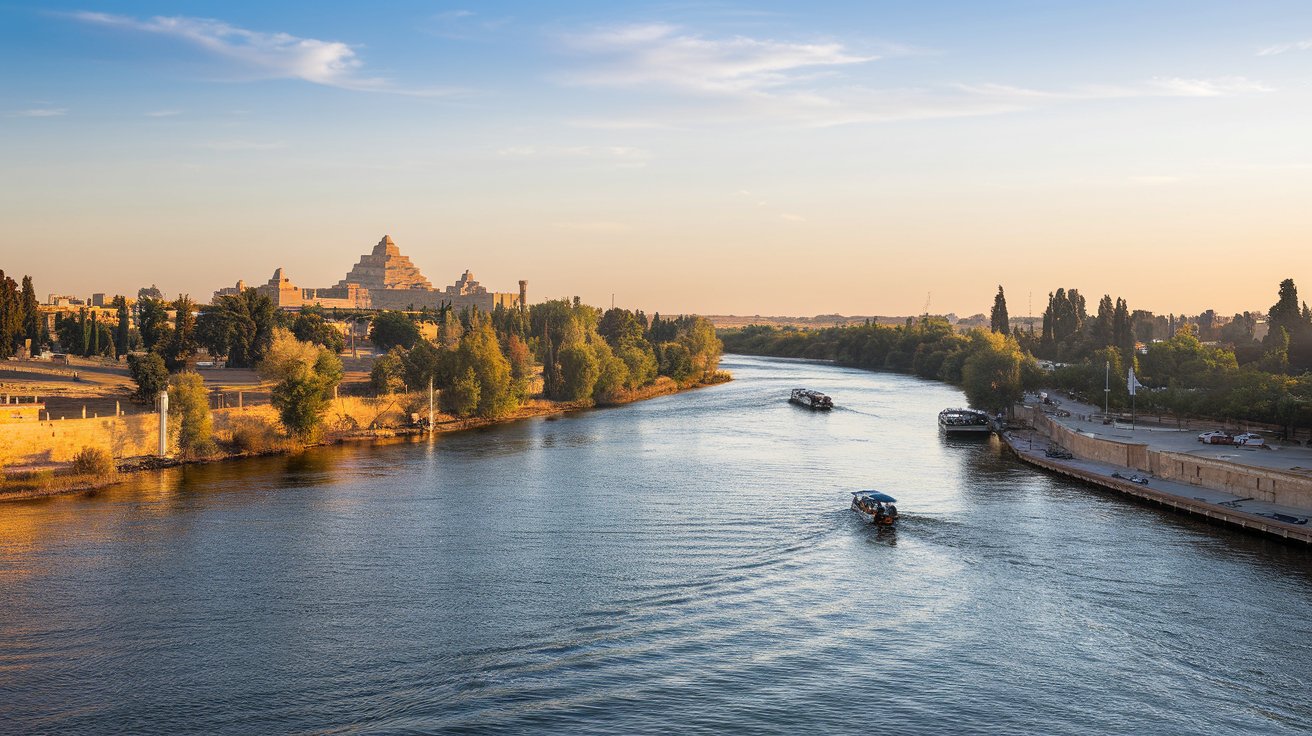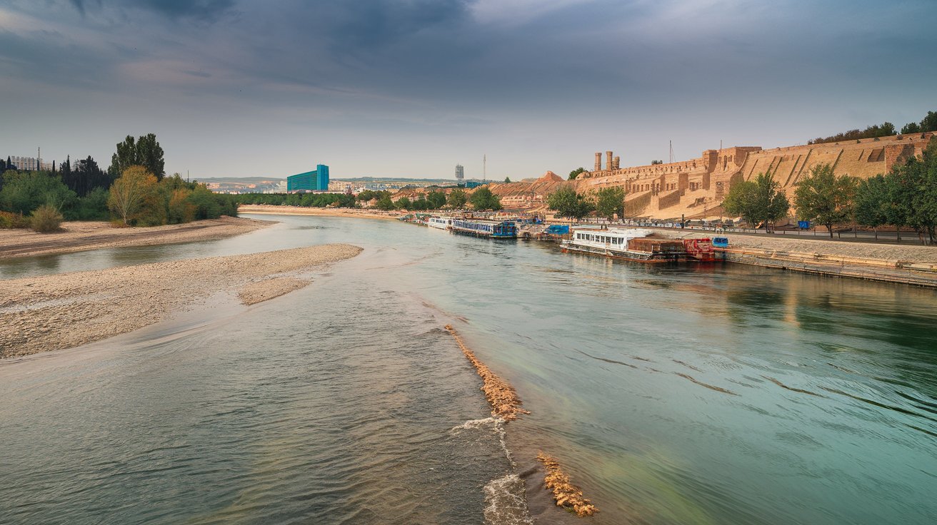
The Tigris and Euphrates rivers are two of the most historically significant waterways in human civilization, flowing through modern-day Turkey, Syria, and Iraq. These ancient rivers, known in Dutch as Tigris en Eufraat, formed the heart of Mesopotamia and continue to sustain millions of people today. However, both rivers face unprecedented challenges in 2026, including severe drought, damming projects, and climate change impacts that threaten their very existence.
Where Are the Tigris and Euphrates Rivers Located Today
The Tigris River originates in the Taurus Mountains of eastern Turkey and flows approximately 1,180 miles southeast through Iraq before merging with the Euphrates to form the Shatt al-Arab, which empties into the Persian Gulf. The Euphrates River, slightly longer at 1,740 miles, also begins in Turkey, passes through Syria, and continues through Iraq. Together, these rivers traverse three primary countries: Turkey controls the headwaters, Syria lies in the middle section, and Iraq contains the majority of their lower courses and convergence point.
As of 2026, the geographical significance of these rivers remains critical for the United States foreign policy interests in the Middle East. The river systems support over 60 million people across the region, and their management directly impacts political stability in Iraq, a key U.S. strategic partner. The Shatt al-Arab waterway, formed by their confluence near Basra, Iraq, serves as a vital commercial route that connects landlocked regions to global maritime trade networks.
Historical Significance of the Tigris and Euphrates
These rivers birthed Mesopotamian civilization, often called the Cradle of Civilization, around 3500 BCE. The fertile land between the rivers, known as the Fertile Crescent, enabled the development of agriculture, writing, mathematics, and organized government. Ancient cities like Ur, Babylon, Nineveh, and Baghdad all flourished along these waterways, relying on sophisticated irrigation systems that transformed arid landscapes into productive farmland.
The Tigris River in the Bible appears in Genesis 2:14 as one of the four rivers flowing from the Garden of Eden, referred to as Hiddekel in Hebrew. This biblical connection makes the river particularly significant for Christian, Jewish, and Islamic traditions. Throughout history, these rivers witnessed the rise and fall of empires including the Sumerians, Akkadians, Babylonians, Assyrians, and Persians, each leaving architectural and cultural legacies that still attract archaeological interest from American universities and institutions in 2026.
Current Water Crisis and NASA Confirmation
NASA satellite data confirmed in recent years that the Tigris-Euphrates river basin has experienced catastrophic water loss, with the region losing approximately 144 cubic kilometers of stored freshwater between 2003 and 2023. This depletion rate, equivalent to the entire volume of the Dead Sea, represents one of the fastest rates of terrestrial water loss on Earth. The crisis has accelerated through 2026, with both rivers reaching historically low levels during summer months.
The primary causes of water depletion include upstream dam construction by Turkey, particularly the Southeastern Anatolia Project consisting of 22 dams and 19 hydroelectric facilities that regulate flow into Syria and Iraq. Climate change has reduced precipitation by 20-30% across the region since 2000, while rising temperatures increase evaporation rates. Agricultural expansion and inefficient irrigation practices consume approximately 70% of available water, further straining the system. Political tensions between Turkey, Syria, and Iraq prevent coordinated water management agreements that could mitigate the crisis.
Does the Tigris River Still Exist in 2026
Yes, the Tigris River still exists but operates at dramatically reduced capacity compared to historical levels. Sections of the river in Iraq have become completely dry during peak summer months, while other segments flow at 20-40% of their traditional volume. The once-mighty waterway that sustained ancient civilizations now struggles to meet basic agricultural and municipal needs for modern populations.
Environmental scientists monitoring the river in 2026 report that ecological collapse is occurring in formerly vibrant wetland areas, particularly the Mesopotamian Marshes of southern Iraq. These marshes, once covering 8,000 square miles, have shrunk to less than 2,000 square miles due to reduced river flow and upstream water diversion. Fish populations have declined by over 60% since 2010, affecting both biodiversity and local fishing communities. The reduced water flow also allows saltwater intrusion from the Persian Gulf to penetrate further inland, contaminating agricultural land and freshwater resources near Basra.
Understanding River Names and Meanings
The Tigris name meaning derives from the Old Persian word Tigrā, meaning arrow, likely referring to the river’s swift current and relatively straight course compared to the meandering Euphrates. Ancient Greeks called it Tigris, while Arabic speakers know it as Dijlah. The river earned various names throughout history reflecting its characteristics: the Sumerians called it Idigna, and ancient Persians referred to it as Arvand Rud in its lower reaches.
The Euphrates name comes from the Greek Euphrátēs, derived from Old Persian Ufrātu, which possibly means good to cross over or the good and abounding river. In Arabic, it is called Al-Furat, while Turkish speakers refer to it as Fırat. These linguistic variations reflect the diverse cultures that have depended on the river throughout millennia. In Indonesian, the river is known as Sungai Tigris, with sungai meaning river, demonstrating how knowledge of these historically significant waterways has spread globally through education and religious texts.
Mapping the Tigris and Euphrates River System
A comprehensive River Tigris map shows the river originating at Lake Hazar in the Taurus Mountains of Turkey at approximately 38°N latitude, flowing southeast through the Turkish provinces of Diyarbakır and Batman before entering Iraq near the town of Faysh Khabur. The river then passes through major Iraqi cities including Mosul, Tikrit, Samarra, and Baghdad, following a course that remains east of the Euphrates until both converge south of Al-Qurnah.
The Tigris en Eufraat kaart reveals that the Euphrates follows a more western route, beginning near Erzurum, Turkey, flowing west before turning southeast through Syria. In Syria, the river passes through major cities including Raqqa and Deir ez-Zor before entering Iraq near Al-Qa’im. The river then flows through Anah, Haditha, and Ramadi before reaching the floodplains of central and southern Iraq. Interactive digital maps available from U.S. Geological Survey and NASA Earth Observatory in 2026 provide real-time data on water levels, flow rates, and seasonal variations, helping researchers and policymakers track the ongoing water crisis with unprecedented precision.
Impact on Iraq and Regional Countries
Iraq faces the most severe consequences of the water crisis as the downstream nation, receiving diminished flow from both rivers after Turkey and Syria extract water for their needs. The Iraqi government reports that water availability has decreased by approximately 50% since 2000, forcing the abandonment of agricultural land and triggering internal migration from rural areas to cities. The agricultural sector, which employs about 20% of Iraq’s workforce and contributes significantly to food security, has contracted dramatically as irrigation becomes impossible in many regions.
In Syria, the Euphrates River crisis has compounded humanitarian challenges resulting from years of conflict, with over 5 million people depending on the river for drinking water facing severe shortages. Turkey’s position as the upstream nation gives it tremendous leverage in regional politics, with dam operations serving as both economic development tools and potential political instruments. American diplomatic efforts in 2026 focus on facilitating trilateral water-sharing agreements, recognizing that water scarcity could trigger conflict, mass migration, and instability that would affect U.S. strategic interests throughout the Middle East.
Environmental and Ecological Changes
The ecosystem degradation along both rivers has accelerated dramatically through 2026, with wetland habitats experiencing catastrophic losses. The Mesopotamian Marshes, recognized as a UNESCO World Heritage Site, support unique biodiversity including endemic fish species, migratory birds from three continents, and the distinctive marsh Arab culture. Reduced water flow has destroyed approximately 60% of these wetlands since 2003, threatening species like the Basra reed warbler with extinction.
Water quality deterioration presents an equally serious challenge, with pollution levels increasing as reduced flow concentrates agricultural runoff, industrial discharge, and untreated sewage. Cities along the Tigris including Baghdad dump millions of gallons of untreated wastewater directly into the river daily, creating serious public health risks. Studies conducted by American environmental organizations in partnership with Iraqi institutions document alarming increases in waterborne diseases, heavy metal contamination, and toxic algae blooms that make water unsafe for human consumption without extensive treatment.
Future Projections and Solutions for 2026 and Beyond
Climate models project that without immediate intervention, the Tigris-Euphrates basin will experience 20-30% less precipitation by 2050, while temperatures rise by 2-3 degrees Celsius, further increasing evaporation and water demand. The World Bank estimates that Iraq alone may face water shortfalls of 11 billion cubic meters annually by 2035 under current trends, potentially displacing millions of people and devastating agricultural production.
Proposed solutions include technological interventions such as improved irrigation efficiency through drip systems that could reduce agricultural water consumption by 40-50%, desalination plants along the Persian Gulf to supplement freshwater supplies, and wastewater treatment facilities to enable water reuse. Regional cooperation frameworks modeled on successful international river basin organizations like the Mekong River Commission could establish equitable water-sharing agreements. American technological expertise and diplomatic engagement continue to play roles in supporting these initiatives, with U.S. Agency for International Development projects in 2026 funding water infrastructure improvements and capacity building across Iraq to enhance resilience against the ongoing crisis.
Cultural and Religious Significance
Beyond their practical importance, the Tigris and Euphrates hold profound cultural meaning for billions of people worldwide through their biblical and Quranic references. The Garden of Eden narrative has led theologians, archaeologists, and curious travelers to explore these rivers for centuries, seeking connections to humanity’s earliest stories. The rivers appear in Islamic tradition as well, with the Prophet Muhammad describing them among the rivers of Paradise.
For the Marsh Arabs of southern Iraq, these rivers represent not just water sources but the foundation of an entire way of life spanning thousands of years. Their unique culture, built on reed houses, water buffalo herding, and fishing, faces extinction as the marshes dry up. UNESCO recognition and international conservation efforts aim to preserve both the ecological and cultural heritage, with American museums and cultural institutions supporting documentation projects to record traditional knowledge before it disappears. The potential loss of these living connections to ancient Mesopotamian traditions represents a cultural catastrophe on par with the environmental crisis.
Related video about tigris en eufraat
This video complements the article information with a practical visual demonstration.
Frequently Asked Questions
Which countries does the Tigris River flow through today?
The Tigris River flows through three countries in 2026: Turkey, where it originates in the Taurus Mountains; Iraq, where it flows for the majority of its course passing through major cities including Mosul, Tikrit, and Baghdad; and briefly forms part of the border between Iraq and Iran in its southernmost section. Syria does not contain any portion of the Tigris itself, though the river flows close to the Syrian border in northern Iraq. The river travels approximately 1,180 miles from source to its confluence with the Euphrates River to form the Shatt al-Arab waterway.
What has happened to the Tigris and Euphrates Rivers?
The Tigris and Euphrates have experienced catastrophic water loss due to multiple factors including upstream dam construction by Turkey that regulates water flow, severe drought conditions linked to climate change reducing precipitation by 20-30%, unsustainable agricultural practices consuming 70% of available water, and rising temperatures increasing evaporation. NASA satellite data confirms the basin lost 144 cubic kilometers of water between 2003 and 2023. Both rivers now flow at 20-40% of historical levels during summer months, with some sections in Iraq becoming completely dry, threatening ecosystems, agriculture, and drinking water supplies for over 60 million people.
Does the Tigris River still exist in its original form?
The Tigris River still exists but is severely diminished from its historical state. While the river continues to flow in 2026, it operates at dramatically reduced capacity with sections experiencing complete seasonal drying. The river that once sustained ancient civilizations now struggles to meet basic needs for modern populations. Extensive damming has altered its natural flow patterns, wetland habitats have shrunk by 60%, and water quality has deteriorated significantly due to pollution and reduced dilution capacity. The ecological and hydrological character of the river has fundamentally changed compared to even 50 years ago.
Where exactly is the Tigris River located on a modern map?
On a modern map, the Tigris River originates at approximately 38°N latitude in eastern Turkey near Lake Hazar in the Taurus Mountains. It flows southeast through Turkish provinces before crossing into Iraq near Faysh Khabur around 37°N latitude. The river then continues southeast through Iraq, passing east of the Euphrates River through cities including Mosul (36°N), Baghdad (33°N), and continues south to Al-Qurnah (31°N) where it merges with the Euphrates to form the Shatt al-Arab. This combined waterway flows approximately 120 miles southeast to empty into the Persian Gulf near Basra at roughly 30°N latitude, 48°E longitude.
What is the biblical significance of these rivers?
The Tigris appears in the Bible in Genesis 2:14 as one of four rivers flowing from the Garden of Eden, called Hiddekel in Hebrew. The Euphrates is mentioned even more frequently throughout the Old and New Testaments, appearing over 50 times as a significant geographical boundary and landmark. In Revelation 16:12, the Euphrates is referenced in end-times prophecy. These biblical connections make the rivers particularly significant for Christian, Jewish, and Islamic faiths, with the region considered sacred ground where human civilization and religious history began. The rivers represent both literal geographical features and powerful symbols in religious thought across multiple traditions.
How does the water crisis affect the United States?
The Tigris-Euphrates water crisis impacts U.S. interests through multiple channels including regional stability in Iraq, a key strategic partner where America has invested heavily in reconstruction and security. Water scarcity drives internal displacement, agricultural collapse, and social unrest that can strengthen extremist groups and undermine governance. The crisis affects global food prices as Iraq’s agricultural production declines. Additionally, water-driven migration from the region contributes to refugee flows affecting U.S. allies in Europe and the Middle East. American energy companies operating in Iraq face operational challenges as water scarcity affects oil production processes, while humanitarian concerns prompt U.S. aid spending and diplomatic engagement to prevent conflict over diminishing water resources.
| Key Aspect | Current Status 2026 | Impact |
|---|---|---|
| Water Availability | Reduced 50% since 2000, flowing at 20-40% of historical levels | Threatens 60 million people, agricultural collapse, ecosystem destruction |
| Geographic Coverage | Flows through Turkey, Syria, and Iraq across 2,920 combined miles | Strategic importance for Middle East stability and U.S. interests |
| Dam Infrastructure | Turkey operates 22 dams regulating upstream flow | Creates political tensions, reduces downstream water supply |
| Wetland Ecosystems | Mesopotamian Marshes reduced from 8,000 to 2,000 square miles | Biodiversity loss, cultural heritage destruction, species extinction |
| Biblical Significance | Referenced in Genesis as Garden of Eden rivers | Sacred meaning for billions across multiple religious traditions |
| Future Projections | 20-30% less precipitation by 2050, temperature rise 2-3°C | Potential mass displacement, regional conflict, humanitarian crisis |