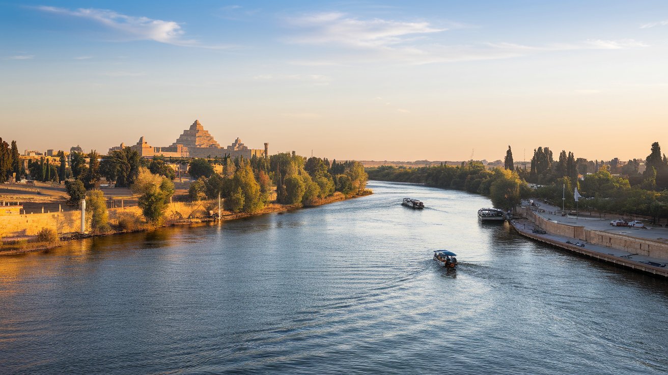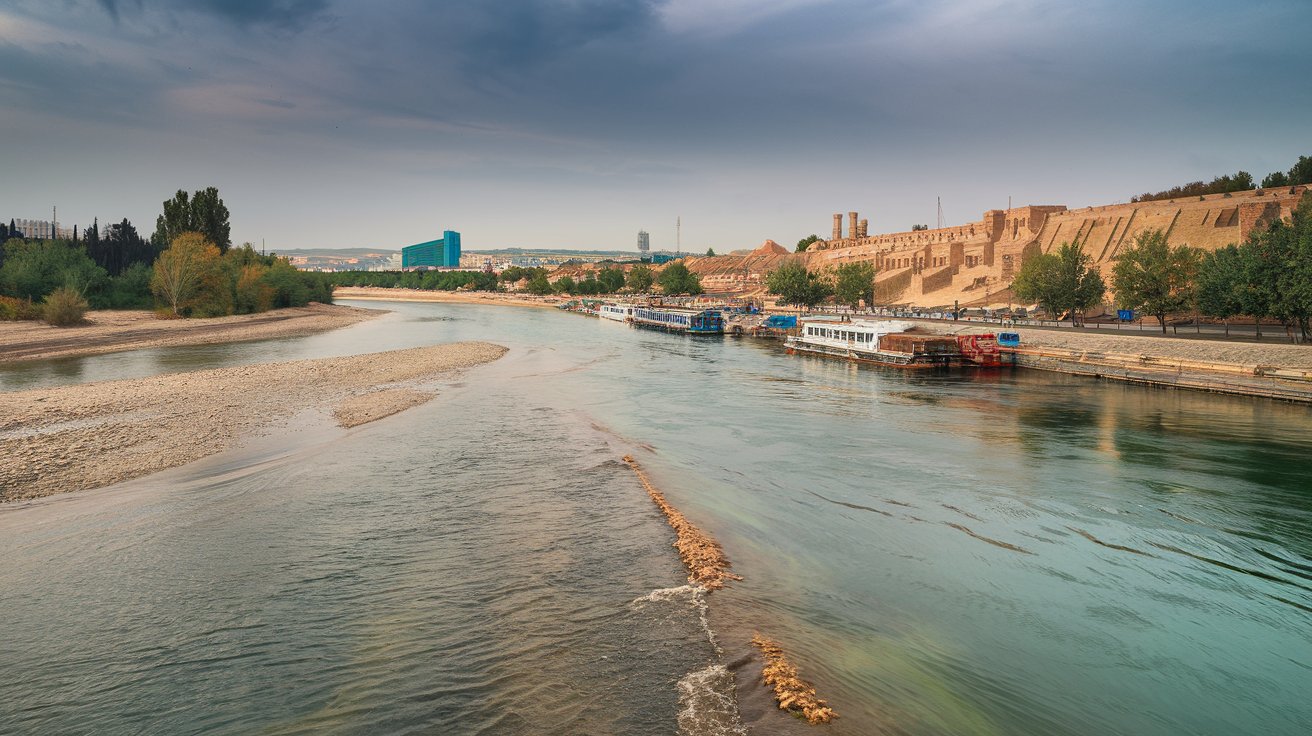
The Tigris River stands as one of the most historically significant waterways in human civilization, flowing approximately 1,180 miles from the Taurus Mountains in Turkey through Iraq and briefly touching Syria before joining the Euphrates River. This ancient river, known in Arabic as Dijlah and in Turkish as Dicle, has sustained Mesopotamian civilizations for over 6,000 years and continues to serve as a vital water source for millions of people across the Middle East in 2026, despite facing unprecedented environmental and political challenges.
Geographic Journey of the Tigris River
The Tigris River originates in the Taurus Mountains of southeastern Turkey, specifically in the Lake Hazar region, at an elevation of approximately 3,750 feet. From this mountainous source, the river flows southeastward through Turkey for about 250 miles before crossing into Syria for a brief 30-mile stretch near the border town of Cizre. The river then enters Iraq, where it constitutes the majority of its 900-mile journey through the country, passing through major cities including Mosul, Tikrit, Samarra, and Baghdad. The river’s watershed covers approximately 140,000 square miles, making it a crucial water resource for the entire region.
Throughout its course, the Tigris receives water from numerous tributaries, with the most significant being the Greater Zab, Lesser Zab, Adhaim, and Diyala rivers, all joining from the eastern mountainous regions of Iraq and Iran. These tributaries historically contributed substantial water volume, though their flow has decreased significantly in recent years due to upstream dam construction and climate change impacts. The river’s gradient is steeper than its sister river, the Euphrates, resulting in faster flow rates and historically more unpredictable flooding patterns that shaped ancient settlement strategies.
Which Country Is the Tigris River In
The Tigris River flows through three countries: Turkey, Syria, and Iraq, with Iraq containing the longest stretch of the river. Approximately 21 percent of the river’s total length runs through Turkey, less than 3 percent through Syria, and the remaining 76 percent flows through Iraq. This transboundary nature creates complex geopolitical dynamics regarding water rights and management, particularly as upstream nations like Turkey have constructed numerous dams that significantly affect downstream water availability. In 2026, these three riparian nations continue negotiations over water-sharing agreements, though no comprehensive treaty has been established.
Within Iraq specifically, the Tigris serves as a lifeline for major population centers including Baghdad, home to over 8 million residents as of 2026. The river basin supports approximately 28 million people across all three countries, with Iraq being the most dependent on Tigris water for agriculture, drinking water, and industrial use. The Iraqi portion of the river faces the most severe water stress, with flow rates at Baghdad decreasing by approximately 40 percent since 2000 according to United States Geological Survey data from 2025, creating significant challenges for urban water supply and agricultural irrigation.
Historical Significance: Rivers of Ancient Mesopotamia
The Tigris and Euphrates rivers formed the heart of ancient Mesopotamia, literally meaning “land between rivers” in Greek, where some of humanity’s earliest civilizations emerged around 3500 BCE. The Sumerian, Akkadian, Babylonian, and Assyrian empires all developed sophisticated irrigation systems along the Tigris, transforming the fertile floodplains into agricultural powerhouses that supported dense urban populations. Archaeological evidence from sites like Nineveh, Ashur, and Ctesiphon demonstrates that Tigris River communities developed advanced engineering, including canals, levees, and water distribution networks that remained unmatched in complexity until the Roman period.
The river’s unpredictable flooding patterns, while providing nutrient-rich sediment, also necessitated the development of centralized governance and record-keeping, contributing to the invention of writing systems like cuneiform. Ancient texts, including the Epic of Gilgamesh, reference the Tigris extensively, and the river appears in biblical accounts as one of the four rivers flowing from the Garden of Eden. This deep historical connection continues to shape cultural identity in the region, with the Tigris remaining central to Iraqi national heritage despite modern environmental degradation threatening its historical role.
Do the Tigris and Euphrates Rivers Meet
Yes, the Tigris and Euphrates rivers meet at Al-Qurnah in southern Iraq, approximately 40 miles north of Basra, where they merge to form the Shatt al-Arab waterway. This confluence creates a river that flows an additional 120 miles southward before emptying into the Persian Gulf. Historically, the two rivers maintained separate courses for most of their lengths, only joining in the southern marshlands, but irrigation projects, dam construction, and geological changes over millennia have altered the precise meeting point. The Shatt al-Arab region has been contested territory between Iraq and Iran, with disputes over navigation rights and territorial boundaries contributing to tensions including the 1980-1988 Iran-Iraq War.
The convergence area historically supported the vast Mesopotamian Marshes, one of the world’s largest wetland ecosystems covering approximately 7,700 square miles at their peak. These marshes supported unique Marsh Arab communities whose culture dated back thousands of years, living in reed houses and maintaining traditional water buffalo herding and fishing practices. However, by 2026, the marshes have shrunk to less than 30 percent of their original size due to upstream damming, drainage projects initiated during the Saddam Hussein era, and severe drought conditions exacerbated by climate change, threatening both ecological diversity and cultural heritage.
Tigris in Greek Mythology and Name Origins
In Greek mythology, Tigris was the name of a river god, son of Oceanus and Tethys, representing the personification of the river itself according to ancient Hellenic tradition. The Greeks adopted and adapted the name from earlier Mesopotamian sources, with the original Sumerian name being “Idigna” or “Idigina,” meaning “swift river” or “running water.” The Akkadian name “Idiqlat” evolved into the Old Persian “Tigra,” which the Greeks transliterated as “Tigris.” This linguistic journey reflects the river’s importance across multiple civilizations, with each culture maintaining reverence for the waterway while adapting its name to their phonetic systems.
The association between the river name and the tiger animal is coincidental rather than etymologically connected, as the word “tiger” derives from a different linguistic root through Greek “tigris” meaning the striped cat, possibly borrowed from an Iranian language. However, popular culture has occasionally conflated these terms, leading to symbolic associations between the fierce animal and the powerful river. The Hunger Games character Tigris, for example, represents a different cultural reference entirely, being a stylist in the fictional universe who underwent surgical modifications to resemble a tiger, demonstrating how the name has taken on varied meanings in modern American popular culture separate from the geographical and mythological river.
Modern Water Crisis and Climate Change Impacts
The Tigris River faces unprecedented water scarcity in 2026, with flow rates declining by 42 percent since 1990 according to recent hydrological assessments conducted by international water research organizations. Multiple factors contribute to this crisis, including the construction of over 50 major dams in the Tigris-Euphrates basin, with Turkey’s Ilisu Dam alone reducing downstream flow by an estimated 60 percent during initial filling periods. Climate change has intensified the situation, with the Middle East experiencing temperature increases of 1.8°C above pre-industrial levels as of 2025, higher than the global average, resulting in decreased snowpack in source regions and increased evaporation rates throughout the river’s course.
Seasonal patterns have shifted dramatically, with spring flood peaks arriving earlier and summer low-flow periods extending longer and reaching more critical levels. Agricultural communities in Iraq report irrigation shortages lasting 3-5 months annually compared to historical patterns where water remained adequate year-round. The Iraqi government estimates that approximately 3.2 million people face water stress conditions directly attributable to Tigris River flow reduction, forcing migration from rural agricultural areas to urban centers. Soil salinization affects over 60 percent of irrigated lands in southern Iraq, as reduced freshwater flow allows saltwater intrusion from the Persian Gulf to penetrate further inland through the Shatt al-Arab.
Political Disputes and Transboundary Water Management
Water politics surrounding the Tigris remain contentious as of 2026, with Turkey, Syria, and Iraq lacking a comprehensive water-sharing agreement despite decades of negotiations. Turkey, as the upstream nation, maintains that the Tigris and Euphrates constitute transboundary rivers rather than international rivers, arguing that this distinction gives Turkey greater autonomy in water resource development. The Turkish Southeastern Anatolia Project (GAP), comprising 22 dams and 19 hydroelectric plants, has fundamentally altered the hydrological regime downstream, with Turkey asserting rights to develop its water resources for economic development while downstream nations claim historical water rights.
Iraq and Syria argue for equitable water allocation based on historical usage patterns and population needs, pointing to the 1997 United Nations Convention on the Law of Non-Navigational Uses of International Watercourses as a framework, though Turkey has not ratified this convention. Bilateral meetings between Iraq and Turkey in 2024-2025 produced limited progress, with Turkey agreeing to maintain minimum flow rates of 500 cubic meters per second at the Iraqi border during normal conditions, though enforcement mechanisms remain weak. The United States government, through agencies like USAID, has funded water governance programs and technical assistance aimed at promoting regional cooperation, recognizing that water scarcity serves as a potential driver of instability in a strategically important region.
Agricultural and Economic Dependence
Agriculture accounts for approximately 85 percent of Tigris River water consumption in Iraq, with wheat, barley, rice, and date palms representing primary crops dependent on river irrigation. The Iraqi agricultural sector employs roughly 20 percent of the workforce as of 2026, though productivity has declined significantly due to water shortages and soil degradation. Traditional irrigation methods, predominantly surface flooding techniques inherited from ancient practices, waste substantial water through evaporation and inefficient distribution, with irrigation efficiency rates estimated at only 40-50 percent compared to modern drip systems that achieve 80-90 percent efficiency.
Economic losses from Tigris water scarcity exceed $4 billion annually in Iraq alone, accounting for reduced agricultural output, increased water treatment costs, and infrastructure damage from dried soils causing foundation instability in urban areas. The fishing industry, once supporting over 30,000 families in southern Iraq, has collapsed with catches declining by 80 percent since 2000 due to reduced water flow, increased salinity, and pollution. Hydroelectric generation along the Tigris provides approximately 25 percent of Iraq’s electricity when water levels permit optimal turbine operation, though drought conditions frequently reduce generation capacity, contributing to persistent electricity shortages affecting American diplomatic facilities and reconstruction efforts in the region.
Pollution and Water Quality Challenges
Tigris River water quality has deteriorated significantly over the past three decades, with pollution sources including untreated municipal sewage, agricultural runoff containing pesticides and fertilizers, and industrial discharge from oil refineries and manufacturing facilities. Baghdad alone generates approximately 2.5 million cubic meters of wastewater daily, with less than 30 percent receiving adequate treatment before discharge into the river as of 2026. Downstream communities consequently face elevated risks of waterborne diseases, with cholera outbreaks occurring periodically in provinces like Basra where water treatment infrastructure remains inadequate.
Heavy metal contamination, particularly from military activities and industrial sources, presents long-term health risks, with testing conducted by international organizations detecting lead, mercury, and chromium at levels exceeding World Health Organization guidelines in several river segments. Reduced flow rates exacerbate pollution impacts by decreasing dilution capacity, meaning the same pollution load creates higher concentration levels. The Iraqi government’s water quality monitoring network, partially funded through United States Agency for International Development programs, operates 47 testing stations along the Tigris, though enforcement of pollution regulations remains inconsistent due to limited institutional capacity and competing economic pressures.
Conservation Efforts and Future Outlook
Regional and international organizations have initiated Tigris River conservation programs addressing water scarcity through multiple approaches including improved irrigation technology, wastewater treatment expansion, and transboundary dialogue facilitation. The Mesopotamian Water Forum, convened annually since 2022, brings together technical experts, government officials, and civil society representatives from riparian nations to discuss cooperative management strategies. International funding, including contributions from the United States, European Union, and United Nations agencies, supports modernization of irrigation infrastructure, with drip irrigation pilot projects demonstrating water savings of 40-50 percent while maintaining or improving crop yields.
Climate adaptation strategies recognize that Tigris flow patterns will continue changing regardless of management efforts, necessitating fundamental shifts in water use priorities and agricultural practices. Proposals include transitioning from water-intensive crops like rice to drought-tolerant alternatives, implementing basin-wide water accounting systems using satellite monitoring technology, and establishing environmental flow requirements to maintain ecosystem health. The outlook for 2030 and beyond suggests that without significant policy changes and regional cooperation, water availability per capita in the Tigris basin will decline by an additional 30 percent, potentially displacing millions and intensifying existing social and political tensions, underscoring the urgent need for comprehensive, cooperative water governance frameworks.
The Tigris River in Contemporary American Context
For United States audiences, the Tigris River carries significance beyond its geographic distance, having served as a crucial landmark during American military operations in Iraq from 2003-2011 and continuing involvement in regional stability efforts. Baghdad’s location on the Tigris meant the river featured prominently in military planning, with bridges across the river representing strategic chokepoints and the river itself serving as a geographic reference in operational maps. American veterans of the Iraq War frequently reference the Tigris in their accounts, and the river remains part of the collective memory of that conflict for millions of Americans who served or had family members deployed.
Current United States policy interests in the Tigris basin center on water security as a stability factor, recognizing that resource scarcity can drive displacement, economic hardship, and conflict that affect American strategic interests in the Middle East. The State Department’s Bureau of Oceans and International Environmental and Scientific Affairs supports transboundary water cooperation initiatives, while USAID programming provides technical assistance for water management improvements. Educational institutions across the United States conduct research on Tigris-Euphrates hydrology, contributing to global understanding of climate change impacts on historic river systems and developing technologies and methodologies applicable to water-stressed regions worldwide, including the American Southwest where similar challenges of overallocation and climate stress affect the Colorado River system.
Related video about tigris
This video complements the article information with a practical visual demonstration.
Most asked questions about tigris
Which country is the Tigris River in?
The Tigris River flows through three countries: Turkey, Syria, and Iraq. Approximately 21 percent of its 1,180-mile length runs through Turkey, less than 3 percent through Syria, and 76 percent through Iraq. The river originates in Turkey’s Taurus Mountains and travels southward through Iraq before joining the Euphrates River at Al-Qurnah to form the Shatt al-Arab, which empties into the Persian Gulf. Iraq contains the longest and most populated section of the river, including major cities like Mosul and Baghdad.
Do the Tigris and Euphrates rivers meet?
Yes, the Tigris and Euphrates meet at Al-Qurnah in southern Iraq, approximately 40 miles north of Basra. At this confluence, they merge to form the Shatt al-Arab waterway, which flows an additional 120 miles before reaching the Persian Gulf. This meeting point has shifted slightly throughout history due to sediment deposition, irrigation projects, and geological changes. The confluence area historically supported the vast Mesopotamian Marshes, though these wetlands have dramatically shrunk since 2000 due to upstream damming and drought conditions.
Why was Tigris turned into a tiger in mythology?
The connection between Tigris and tigers is coincidental rather than mythological. In Greek mythology, Tigris was a river god, son of Oceanus and Tethys, representing the river itself. The river’s name derives from ancient Sumerian “Idigna” meaning “swift river,” which evolved through Akkadian and Persian into the Greek “Tigris.” The word “tiger” for the animal comes from a separate Greek root referring to the striped cat. Popular culture sometimes conflates these terms, but they have different etymological origins and the mythological Tigris was specifically a water deity, not associated with the animal.
What are the main challenges facing the Tigris River in 2026?
Water scarcity represents the primary challenge, with flow rates declining 42 percent since 1990 due to upstream dam construction, climate change, and increased water consumption. Over 50 major dams in the Tigris-Euphrates basin reduce downstream flow, while temperatures in the Middle East have increased 1.8°C above pre-industrial levels, reducing snowpack and increasing evaporation. Additional challenges include severe pollution from untreated sewage and industrial discharge, political disputes over water rights between Turkey, Syria, and Iraq, and agricultural dependency with inefficient irrigation practices consuming 85 percent of available water.
How does the Tigris River crisis affect the United States?
The Tigris water crisis impacts United States interests through regional stability concerns, as water scarcity drives displacement, economic hardship, and potential conflict in a strategically important area. American policy focuses on water security as a stability factor, with USAID funding water management programs and the State Department supporting transboundary cooperation initiatives. The crisis also affects American diplomatic and military facilities in Iraq that depend on local water infrastructure. Additionally, research on Tigris water challenges informs approaches to similar issues in the American Southwest, where the Colorado River faces comparable overallocation and climate stress problems.
What is the historical significance of the Tigris River?
The Tigris served as the lifeblood of ancient Mesopotamia, supporting some of humanity’s earliest civilizations including the Sumerian, Akkadian, Babylonian, and Assyrian empires from approximately 3500 BCE onward. These societies developed sophisticated irrigation systems, centralized governance, and writing systems like cuneiform partly in response to managing the river’s resources and unpredictable flooding. Major ancient cities including Nineveh, Ashur, and Ctesiphon flourished along its banks. The river appears in historical texts including the Epic of Gilgamesh and biblical references as one of the four rivers of Eden, cementing its place in cultural and religious heritage that continues influencing regional identity today.
| Key Aspect | Important Details | Significance |
|---|---|---|
| Geographic Extent | 1,180 miles through Turkey (21%), Syria (3%), Iraq (76%) | Transboundary nature creates complex water rights disputes |
| Flow Reduction | 42% decline since 1990; 50+ major dams affect flow | Threatens 28 million people dependent on river water |
| Historical Role | Supported Mesopotamian civilizations for 6,000+ years | Central to development of writing, irrigation, and governance |
| Confluence Point | Meets Euphrates at Al-Qurnah to form Shatt al-Arab | Creates unique wetland ecosystem (70% degraded by 2026) |
| Agricultural Use | 85% of water consumption; 40-50% irrigation efficiency | Economic losses exceed $4 billion annually in Iraq |
| Climate Impact | 1.8°C temperature increase; reduced snowpack; increased evaporation | Additional 30% per capita water decline projected by 2030 |