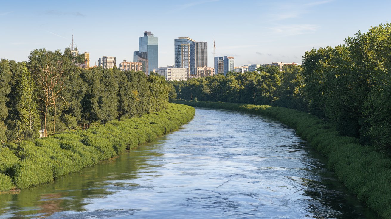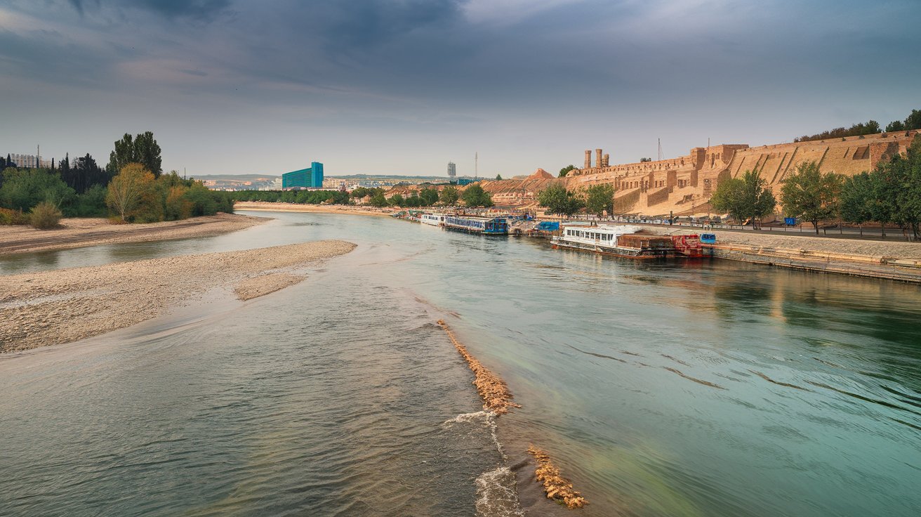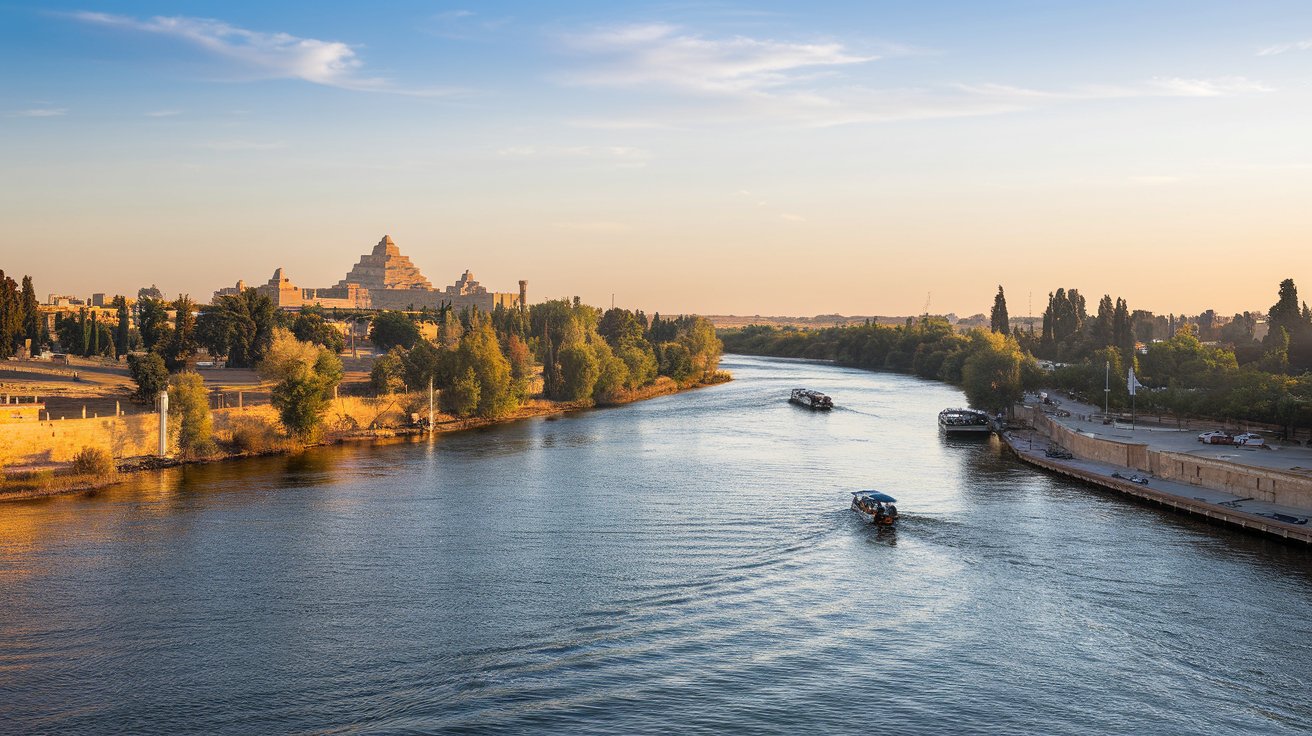
The Euphrates River, known as Eufraat in Dutch, stands as one of humanity’s most historically significant waterways. Flowing through Turkey, Syria, and Iraq, this ancient river formed the cradle of civilization in Mesopotamia over 5,000 years ago. Today in 2026, the Euphrates faces unprecedented challenges including severe drought conditions, reduced water levels, and geopolitical tensions affecting millions across the Middle East. Understanding the Euphrates means exploring its geographical path, cultural importance, current environmental crisis, and future implications for water security in the region.
Where Does the Euphrates River Flow Today
The Euphrates River originates in the mountainous regions of eastern Turkey, specifically in the Armenian Highlands near Mount Ararat. From its source, the river flows approximately 1,740 miles (2,800 kilometers) southward through three countries before emptying into the Persian Gulf. The Euphrates begins with two main tributaries: the Karasu and Murat rivers, which converge in the Keban Dam reservoir in Turkey. This upper section features dramatic elevation changes and provides significant hydroelectric power generation for Turkey’s energy infrastructure.
After leaving Turkey, the Euphrates enters Syria near the town of Jarabulus, flowing southeast through the Syrian Desert. The river passes through major Syrian cities including Raqqa and Deir ez-Zor before crossing into Iraq. In Iraq, the Euphrates continues its southeastern journey through cities like Al-Fallujah, Ramadi, and Hillah before merging with the Tigris River at Al-Qurnah to form the Shatt al-Arab waterway. This final stretch flows approximately 120 miles before reaching the Persian Gulf, completing one of the world’s most historically significant river systems in 2026.
The Meaning and Historical Significance of Eufraat
The name Euphrates derives from the Greek word “Euphrates,” which itself comes from the Old Persian “Ufrātu” and the ancient Akkadian “Purattu.” The meaning of Eufraat is often interpreted as “the good and abounding river” or “that which makes fruitful,” reflecting its essential role in sustaining agriculture and civilization. In Islamic tradition, the Euphrates holds profound religious significance, mentioned multiple times in the Quran and Hadith as one of the four rivers of Paradise and a location associated with end-time prophecies.
Throughout history, the Euphrates River enabled the rise of ancient Mesopotamian civilizations including the Sumerians, Babylonians, and Assyrians. The fertile lands between the Euphrates and Tigris rivers, known as the Fertile Crescent, witnessed the development of writing, complex urban centers, and sophisticated irrigation systems around 3500 BCE. Cities like Babylon, Ur, and Mari flourished along the Euphrates banks, establishing legal codes, astronomical observations, and architectural marvels. In 2026, archaeological sites along the river continue revealing insights into human civilization’s earliest achievements, though many face threats from water level changes and regional conflicts.
Euphrates and Tigris Rivers: Twin Lifelines of Mesopotamia
The Euphrates and Tigris rivers form the defining geographical features of ancient Mesopotamia, meaning “land between rivers” in Greek. While both rivers originate in Turkey and flow through Iraq, they maintain distinct characteristics that shaped regional development differently. The Tigris River runs approximately 1,180 miles (1,900 kilometers), making it shorter than the Euphrates, but it carries more water volume and flows faster due to steeper gradients and more tributaries feeding into its course throughout Syria and Iraq.
The Euphrates flows through more arid terrain with fewer tributaries, resulting in slower current speeds and historically more predictable flooding patterns that ancient civilizations utilized for agriculture. The two rivers historically merged near Basra, Iraq, but dam construction, irrigation projects, and climate change in 2026 have significantly altered their natural flow patterns. The mesopotamian river system now faces coordinated management challenges among Turkey, Syria, and Iraq, with water allocation disputes affecting millions who depend on these rivers for drinking water, agriculture, and industrial use across the region.
Countries Along the Euphrates River Basin
Three nations share the Euphrates River basin, each controlling different percentages of the river’s total flow and utilizing the water for varying purposes. Turkey, as the upstream country, controls approximately 88% of the Euphrates water flow through extensive dam systems including the massive Southeastern Anatolia Project (GAP). This ambitious infrastructure program includes 22 dams and 19 hydroelectric plants, with the Atatürk Dam being the largest, creating a reservoir with 48.7 billion cubic meters capacity that significantly impacts downstream water availability.
Turkey’s Control and Management
Turkey’s upstream position gives it substantial control over Euphrates water distribution, allowing the nation to regulate flow to Syria and Iraq through dam releases. The GAP project, initiated in the 1970s and continuing development through 2026, aims to irrigate 1.8 million hectares of land and generate 27 billion kilowatt-hours of electricity annually. However, this development has created persistent water disputes with downstream nations, particularly during drought years when Turkey’s reservoir filling and agricultural demands reduce the volume of water released to Syria and Iraq, sometimes below the agreed-upon minimum flow rates.
Syria and Iraq’s Downstream Challenges
Syria receives approximately 28% of the Euphrates flow after Turkish dams, utilizing the water through the Tabqa Dam and Assad Lake for irrigation and hydroelectric power. Iraq, as the final downstream country, faces the most severe challenges with only receiving roughly 25-30% of the river’s historical flow by 2026. Iraqi cities including Baghdad, Najaf, and Basra depend heavily on Euphrates water for municipal supplies, agricultural irrigation of date palms and wheat fields, and maintaining crucial wetland ecosystems. The reduced flow has caused severe water shortages, increased salinity levels, and contributed to internal displacement of farming communities who can no longer sustain their traditional livelihoods along the river.
Is the Euphrates River Drying Up: 2026 Water Crisis
The Euphrates River is experiencing unprecedented water level decline, with NASA satellite data confirming dramatic reductions in water flow and reservoir levels throughout the basin. Between 2004 and 2026, the Tigris-Euphrates river system has lost approximately 144 cubic kilometers of fresh water, equivalent to the volume of the Dead Sea. This water crisis results from multiple compounding factors including climate change reducing precipitation and snowpack in Turkish mountain sources, increased water extraction for irrigation, dam construction reducing natural flow, and population growth increasing demand across all three riparian countries.
In 2026, significant sections of the Euphrates show exposed riverbed areas that were submerged for millennia, revealing archaeological artifacts but also indicating ecosystem collapse. Iraqi government reports document that the Euphrates flow at the Syrian border decreased from 920 cubic meters per second in the 1990s to approximately 200 cubic meters per second in recent measurements. The drying Euphrates has exposed ancient settlement sites, including parts of the city of Dura-Europos in Syria and Babylonian structures in Iraq, providing archaeological opportunities while simultaneously devastating local populations dependent on the river for survival.
Climate Change Impact on River Flow
Climate change projections for the Middle East indicate that the Euphrates basin will experience 20-30% reduction in precipitation by 2050 compared to 20th-century averages. Rising temperatures, currently 1.5-2°C higher than pre-industrial levels in the region, increase evaporation rates from reservoirs and reduce snowpack accumulation in the Turkish highlands where the river originates. The Euphrates water shortage intensifies during summer months when agricultural demand peaks, creating competition between municipal water needs and irrigation requirements that strain diplomatic relations among Turkey, Syria, and Iraq throughout 2026.
Agricultural and Population Pressure
The population in the Euphrates River basin has grown from approximately 35 million in 1990 to over 60 million in 2026, with projections reaching 80 million by 2040. This demographic increase corresponds with intensified agricultural development, particularly in Turkey’s GAP region where irrigation has expanded wheat, cotton, and pistachio cultivation. Syria and Iraq have also increased agricultural water extraction from the Euphrates, often using inefficient flood irrigation methods that waste substantial water volumes. The combined effect creates unsustainable demand that exceeds the river’s natural replenishment capacity, especially during multi-year drought periods that have become more frequent in recent decades.
Euphrates River in Islamic Tradition and Prophecy
The Euphrates in Islam holds special religious significance as one of the four rivers mentioned in Islamic eschatology that originate from Paradise. The Prophet Muhammad specifically referenced the Euphrates in several Hadith, including prophecies about the river drying up to reveal a mountain of gold that would cause great conflict. Many Islamic scholars in 2026 discuss whether the current Euphrates water crisis relates to these ancient prophecies, particularly as water levels reach historically low points and geopolitical tensions over water resources intensify among nations.
The religious meaning of the Euphrates extends beyond prophecy to include its role in early Islamic history and expansion. The river served as a natural boundary and strategic military line during the early caliphate period, with important battles and settlements established along its banks. Cities like Kufa and Baghdad, located near the Euphrates-Tigris confluence, became centers of Islamic learning, culture, and governance. In contemporary 2026, the river’s declining state prompts theological discussions about environmental stewardship, resource management, and the relationship between religious prophecy and ecological reality among Muslim communities globally.
Geographic Features: From Mountains to Gulf
The Euphrates River descends from elevations exceeding 3,000 meters (9,800 feet) in the Armenian Highlands to sea level at the Persian Gulf, creating diverse ecological zones throughout its 2,800-kilometer journey. The upper basin in Turkey features steep gorges, mountain valleys, and coniferous forests that provide watershed protection and snowmelt essential for river flow. The middle section through Syria transitions to semi-arid steppe terrain where the river carved a valley through limestone plateaus, creating fertile floodplains that supported agriculture for millennia despite the surrounding desert environment.
The lower Euphrates in Iraq flows through flat alluvial plains composed of sediment deposited over thousands of years, creating extremely fertile but poorly drained agricultural land. Before modern dam construction, annual spring floods would inundate these plains, depositing nutrient-rich silt and providing natural irrigation. The river’s gradient becomes minimal in this section, causing the water to meander extensively and create oxbow lakes, wetlands, and marshes. By 2026, many of these natural features have diminished due to reduced flow, upstream damming, and deliberate drainage projects, fundamentally altering the river’s ecological character and the biodiversity it once supported throughout the basin.
Environmental and Ecological Crisis in 2026
The Euphrates ecosystem faces catastrophic decline with species loss, habitat destruction, and water quality deterioration accelerating throughout 2026. The river historically supported diverse fish populations including the Euphrates soft-shelled turtle, various endemic cyprinid species, and migratory waterfowl that relied on extensive wetland habitats. Current water level reduction has caused the collapse of these ecosystems, with Iraqi marshlands shrinking to 20% of their historical extent and many aquatic species now critically endangered or locally extinct.
Water quality deterioration represents another critical environmental challenge as reduced flow decreases the river’s capacity to dilute agricultural runoff, industrial discharge, and municipal sewage. Measurements in 2026 show dramatically increased salinity levels in the lower Euphrates, with some sections exceeding 4,000 parts per million compared to the 500 ppm threshold for safe agricultural irrigation. This salinization destroys agricultural productivity, forcing farmers to abandon formerly fertile land and contributing to rural-to-urban migration patterns that strain Iraqi and Syrian cities. The environmental degradation also impacts human health through waterborne diseases, reduced food security, and loss of traditional fishing-based livelihoods that communities practiced for generations along the river’s course.
International Water Treaties and Disputes
Despite decades of negotiations, Turkey, Syria, and Iraq have never reached a comprehensive water-sharing agreement for the Euphrates River that satisfies all parties. Turkey maintains that the Euphrates and Tigris should be considered as a single transboundary water system and proposes a three-way sharing formula based on each country’s water needs. However, Syria and Iraq argue for international water law principles that grant them historical rights and equitable utilization based on their downstream position and agricultural dependence on Euphrates water.
Temporary bilateral protocols exist, including a 1987 agreement where Turkey committed to releasing a minimum of 500 cubic meters per second at the Syrian border, though compliance has been inconsistent during drought periods. Syria similarly agreed to release approximately 280 cubic meters per second to Iraq, though actual releases vary significantly based on Syrian water needs and Turkish upstream releases. In 2026, these water disputes remain unresolved, with international organizations including the United Nations urging comprehensive basin-wide management agreements that account for climate change, population growth, and ecosystem protection alongside agricultural and municipal water allocation among the three riparian states.
Archaeological Sites Threatened by Water Changes
The fluctuating Euphrates water levels expose previously submerged archaeological sites while simultaneously threatening others through erosion and looting. Ancient cities like Mari in Syria, which flourished around 2900 BCE as a trade center, face exposure risks as reservoir levels drop, potentially damaging mud-brick structures not designed for air exposure after millennia underwater. The ancient Mesopotamian sites along the Iraqi Euphrates, including portions of Babylon, Sippar, and Kish, experience accelerated deterioration as the water table drops, destabilizing foundation layers and causing structural collapse.
Conversely, receding waters have revealed remarkable discoveries, including Bronze Age settlements, ancient bridges, and inscribed artifacts that provide new insights into early civilizations. In 2026, archaeologists race to document and preserve these newly exposed sites before they suffer damage from exposure, looting, or renewed flooding if water management changes. The situation creates an ethical dilemma: while the water crisis threatens modern populations with drought and displacement, it simultaneously offers unprecedented access to humanity’s earliest historical records preserved in the riverbed sediments and banks that shaped civilization’s development over five millennia.
Related video about eufraat
This video complements the article information with a practical visual demonstration.
Essential Q&A about eufraat
Where does the Euphrates River flow through today?
The Euphrates River flows through three countries in 2026: Turkey, Syria, and Iraq. It originates in the Armenian Highlands of eastern Turkey, where the Karasu and Murat tributaries converge, then flows approximately 1,740 miles southeast through Syria and Iraq before merging with the Tigris River to form the Shatt al-Arab waterway that empties into the Persian Gulf. The river passes through major cities including Raqqa and Deir ez-Zor in Syria, and Ramadi, Fallujah, and Hillah in Iraq.
What is the meaning of Eufraat in English?
Eufraat is the Dutch word for Euphrates, which derives from ancient languages meaning “the good and abounding river” or “that which makes fruitful.” The name comes from the Greek Euphrates, which originated from Old Persian Ufrātu and Akkadian Purattu. This etymology reflects the river’s historical importance in sustaining agriculture and civilization in Mesopotamia. The name emphasizes the river’s life-giving properties that enabled the development of human civilization over 5,000 years ago.
Is the Euphrates River actually drying up in 2026?
Yes, the Euphrates River is experiencing severe water level decline in 2026, confirmed by NASA satellite monitoring. The river has lost approximately 144 cubic kilometers of water since 2004, with flow rates dropping from 920 cubic meters per second in the 1990s to approximately 200 cubic meters per second at the Syrian-Iraqi border. This crisis results from climate change reducing precipitation, increased dam construction in Turkey, agricultural water extraction, and population growth. Large sections of riverbed now stand exposed for the first time in millennia, creating humanitarian and environmental emergencies across Iraq and Syria.
Which countries are located along the Euphrates and Tigris rivers?
Turkey, Syria, and Iraq share the Euphrates River basin, while the Tigris River flows through Turkey, Syria, Iraq, and partially forms the border with Iran. Turkey controls the upstream sections and approximately 88% of Euphrates flow through extensive dam systems. Syria receives diminished flow after Turkish dams and utilizes it through the Tabqa Dam. Iraq, as the final downstream country, faces the most severe water shortages, receiving only 25-30% of the river’s historical flow by 2026, critically impacting millions who depend on these rivers for agriculture, drinking water, and livelihoods.
What is the significance of the Euphrates in Islamic tradition?
The Euphrates holds profound significance in Islamic tradition as one of the four rivers mentioned in the Quran and Hadith that originate from Paradise. Prophet Muhammad referenced the Euphrates in several prophecies, including predictions about the river drying up to reveal a mountain of gold that would cause conflict. The river also played important roles in early Islamic history as a strategic boundary during caliphate expansion and as the location near major Islamic centers like Kufa and Baghdad. In 2026, the river’s declining state prompts theological discussions about environmental stewardship and the relationship between prophecy and ecological reality.
How do dams affect Euphrates water flow to Syria and Iraq?
Turkish dams, particularly the Atatürk Dam as part of the Southeastern Anatolia Project (GAP), dramatically reduce Euphrates water flow to Syria and Iraq by controlling approximately 88% of the river’s total volume. The GAP project includes 22 dams and 19 hydroelectric plants that regulate water release based on Turkish agricultural and energy needs. While Turkey committed to releasing 500 cubic meters per second at the Syrian border, actual releases vary during drought periods. This upstream control has reduced water availability in Iraq to 25-30% of historical levels by 2026, creating severe humanitarian crises and international disputes over water rights.
| Key Aspect | 2026 Status | Historical Significance |
|---|---|---|
| River Length | 1,740 miles (2,800 km) from Turkish highlands to Persian Gulf | Longest river in Southwest Asia, defined Mesopotamian civilization boundaries |
| Water Flow Reduction | Down to 200 m³/s at Syrian border (78% decrease from 1990s) | Historically averaged 920 m³/s, supporting extensive agriculture |
| Countries Affected | Turkey (source), Syria (middle), Iraq (lower basin to gulf) | Cradle of civilizations: Sumerian, Babylonian, Assyrian empires |
| Population Dependent | Over 60 million people across basin (projected 80 million by 2040) | Supported earliest urban centers including Babylon and Ur (3500 BCE) |
| Major Dams | 22 Turkish dams including Atatürk (48.7 billion m³ capacity) | Ancient irrigation systems managed natural flooding for agriculture |
| Religious Significance | Islamic prophecies about river drying discussed widely in 2026 | Mentioned in Quran as one of four Paradise rivers, multiple Hadith references |
| Environmental Status | Ecosystem collapse, wetlands reduced 80%, salinity exceeds 4,000 ppm | Rich biodiversity including endemic fish species, extensive marshlands |
| Water Disputes | No comprehensive treaty; temporary bilateral protocols inconsistently followed | Historical conflicts over water rights dating to Ottoman Empire era |